
The Gongga trail is one of the multi-day hikes you can do in China. Minya Konka, or Gongga, is a mountain in Sichuan province. At over 7000m, the mountain itself has rarely been summited, with a dodgy icefall making it a trecherous trip.
However, the trail, which follows the valley between the mountain peaks, is a challenging, but not so risky feat. With routes from 3 to 10 days, it’s possible to tailor this hike to your own needs.

How to get there
To hike the Gongga trail, you need to make your way to Kangding, in Sichuan province. From Chendu, the busiest city/most well connected airport, you can either fly to Kangding airport or take a bus.
I took the bus, and I’m glad I did as the airport is in the middle of nowhere… the bus cost 100RMB and took about 5 hours with a stop had way.
After spending a night in Kangding to acclimatize you need to get a ride to the trail head. I stayed at a hostel called kangding konka international youth hostel, which was super cheap, had really nice hiker energy and lots of people willing to help you if you’re hiking solo. The taxi ride can can range in costs… I read $200 online before going there my self, and only paid 200RMB (not even $20)-and other travellers with better Chinese/bargaining skills got this hour long taxi ride down to 50 ($5)! The best place to get the taxi to is the village Lao Yu Lin Cun, which is only recognizable as a village because there is a small powerplant there, other than that, it’s pretty non-existent.
The Trail
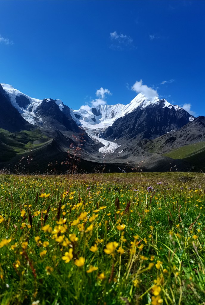
The trail itself is clear and fairly gradual as it gains elevation. You’re starting off at about 3000 meters above sea level and will hit 5000 at the highest pass, so the altitude is what will slow you down. Well, that and the yaks blocking the trail!
As this is relatively far from society, it’s worth taking precautions… I only saw 2 other groups in 4 days of hiking!
But there is plenty of fresh water as you follow a river most of the way, so definitely use a filter, no need to carry huge amounts.
Check out the video of the first 3 days of hiking up to the pass before all my batteries started dying:
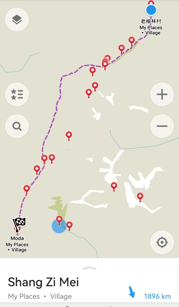
I had initially found it difficult to find decent maps or route planners for this trail, particularly without having enough Chinese to navigate the local map apps or websites, however I eventually found it on trusty old maps.me, which certainly made me feel more comfortable! It also showed the alternative routes, one of which I ended up taking after being advised that the views were generally better along the higher route.
The total distance covered was about 80km, with about 3000m elevation gain, hitting 5000m at the highest pass.
I went in July and did have to wait around for a good weather window; the nights were fairly cold, a good down jacket and woolly hat are musts!
I spent one night up high, which was particularly cold, but it was such a beautiful spot, I couldn’t resist waking up there with the glaciers in full view!
In July, one of the most spectacular things about this trek is the colours. Thousands of tiny wildflowers line the valley floor. Vivid pinks, purples, yellows and blues contrast with the lush green Valley and the whites of the glaciers when you start to hit ice.

If you use maps. me, it does have some good camping spots already marked along the trail, on some stretches between these it would be quite hard to find a spot, so be aware of that, I ended up having to backtrack fairly significantly one night.
I felt safe along the entire route, nothing was so difficult I felt I would fall or get blown anywhere too drastic if the wind picked up. On the final day, along the high route, which was definitely less trodden, the path was almost constantly thin and on a steep edge, so perhaps if the wind picked up, this might’ve been an area to watch.
Possibly the most scary parts were the bridge crossings. The river was very high, probably at its peak after some rainy days and some warm weather causing snowmelt. The bridges were thin, simple and had no barriers, basically just logs or planks over the torrent. For this reason, I’d say this is one of the treks I’d 100% recommend taking hiking poles for stability. They also gave me a bit of peace of mind while navigating my way around yaks, giving me something to make a bit of noise with to get then to move on.
Kit list
- A lightweight, sturdy tent
- At least 3 season sleeping bag, I did feel cold in mine!
- Sleeping mat to help avoid the cold
- Down jacket
- waterproofs (I didn’t use the trousers at all, but I can imagine they’d be pretty necessary of the weather turned up there)
- Stove & cooking gear
- Water filter & bottles
- Suncream-it’s pretty high
- Cap & wooly hat
- t-shirt layers
- leggings & shorts
- sunglasses
- food… I found finding decent food in Kangding fairly difficult, it might be worth doing at least some of your food shop in Chengdu if you want some variety
- socks
- first aid kit
- insect repellent
- lighter
- charging equipment e. g. battery pack or solar charger
- phone for navigation, safety & audiobooks/podcasts
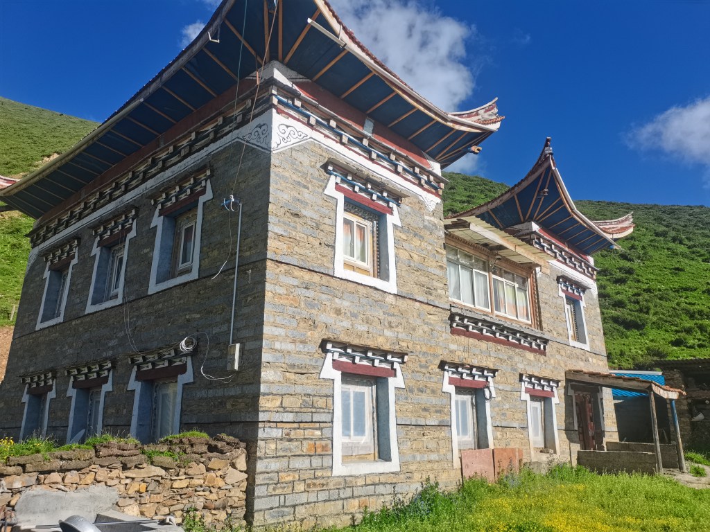
Getting out was also much more easy than anticipated. I hadn’t even made it to the road before a guy on a diet bike offerred me a lift to his families home stay (which was rugged at best, but still an experience).
Getting back to Kangding was a bit more tricky, my host arranged for me to go with someone who was driving the next day to a village, then to get a bus from there… however I don’t think I’d have been able to figure this out without help! Thank goodness for the kindness of strangers.
The way back also took about 5 hours on the small roads around the mountains.
My advice for anyone wanting to try it is to go, be organized and prepared and you’ll be fine. The difficulties binary finding information about this trek nearly put me off, but I’m so glad I did it, it was unbelievably beautiful!

Another great write up
thanks Shereen x
LikeLike